

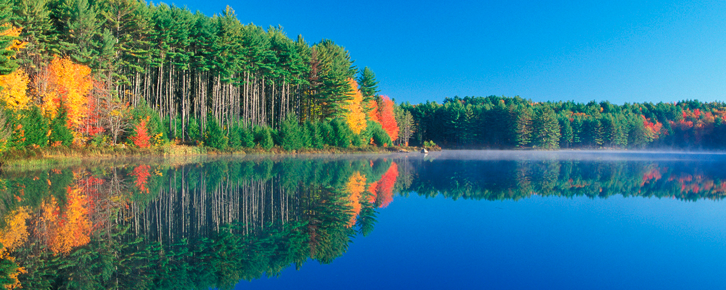

The Lamprey River: A Special Place
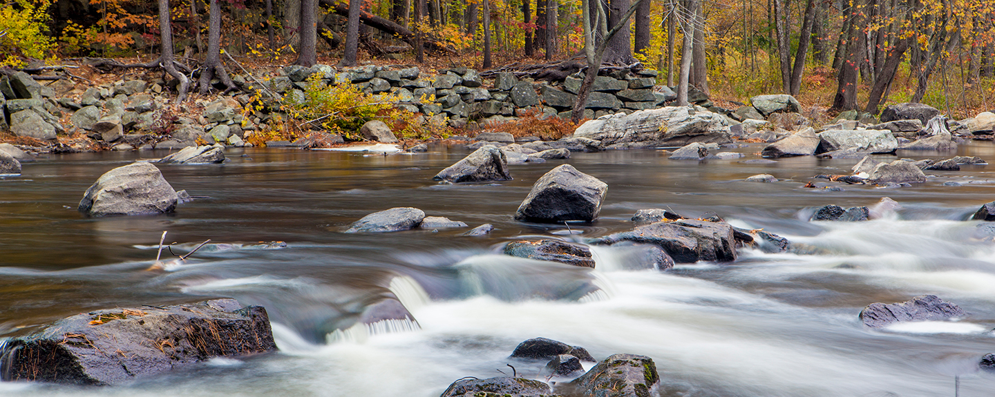
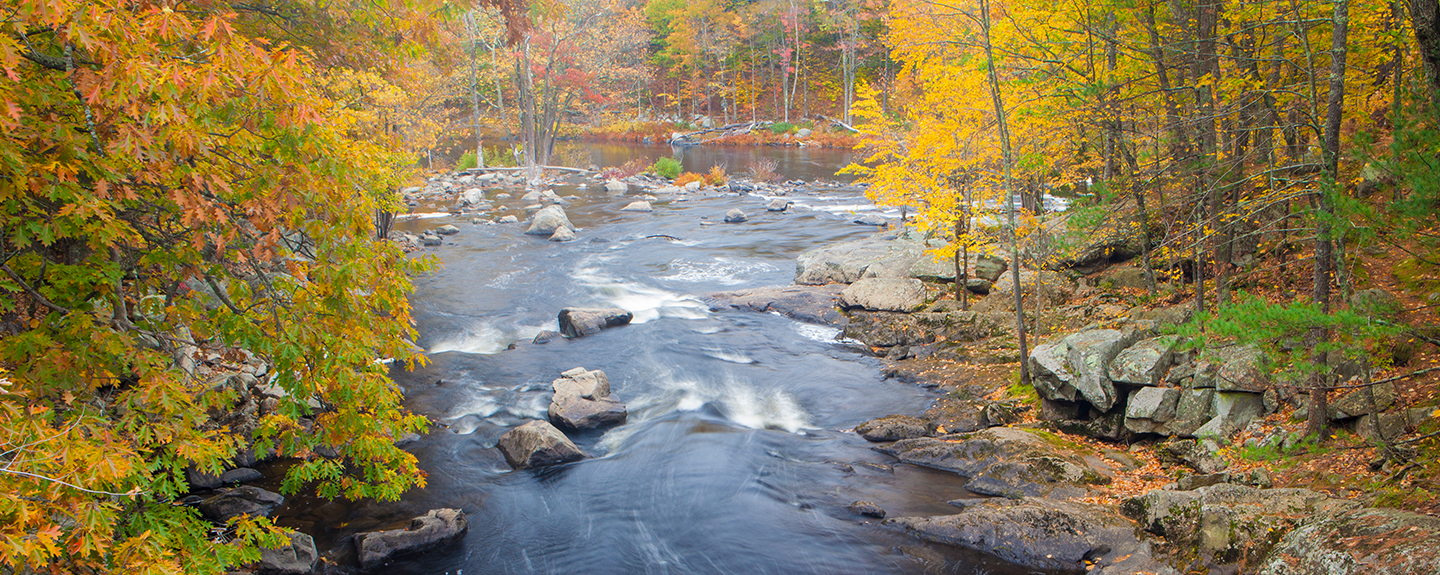
The Lamprey River originates in the Saddleback Mountains in Northwood, New Hampshire and makes a journey of 49 miles to Great Bay. The Lamprey has made this journey for thousands of years - flowing through a changing history, and providing for the people who live near it.
Explore this site and enjoy the Wild and Scenic Lamprey as you learn about its natural assets, history, and importance to the surrounding communities - and its symbolic importance to the environmental world.

Lamprey River Bulletin Board
2025 Lamprey River Management Plan now available!
The Lamprey River watershed covers 214 square miles and includes parts of fourteen towns, five main tributaries in addition to the main stem Lamprey River, and a rapidly growing human population. The Lamprey River Advisory Committee has completed updates to the 2013 River Management Plan so that the river waters remain clean, habitats remain viable, passive recreational access grows sustainably, historical connections remain strong, and people continue to value and protect the rivers we call home.
A key component of this new plan update is a powerful set of maps. Some maps are static and will be placed in the management plan. Others are entirely interactive and can be customized. Click to check them out! LRAC Mapping Project 2025 - Map Viewer The viewer works best with a computer; cell phones will not work.
Lamprey River Recreation Map
Anytime is a great time to explore! Check out our map and guide here.
New Research: Bacterial Tracking on the lower Lamprey River
Click here for the 2024 report, covering 6 recreational sites from Raymond to Newmarket. Testing will continue in 2025.
Recreation reminder:
To protect your health, please wait 48 hours after a heavy rain storm before fishing or swimming in a river, lake, or ocean to allow nature to clean contaminated run-off.
Fall 2025 Newsletter:
Click here for the latest.
Next LRAC meeting October 21, 2025
7:00 P.M. at the Public Safety Complex, 20 George Bennett Road, Lee, NH.
The public is always welcome to attend.